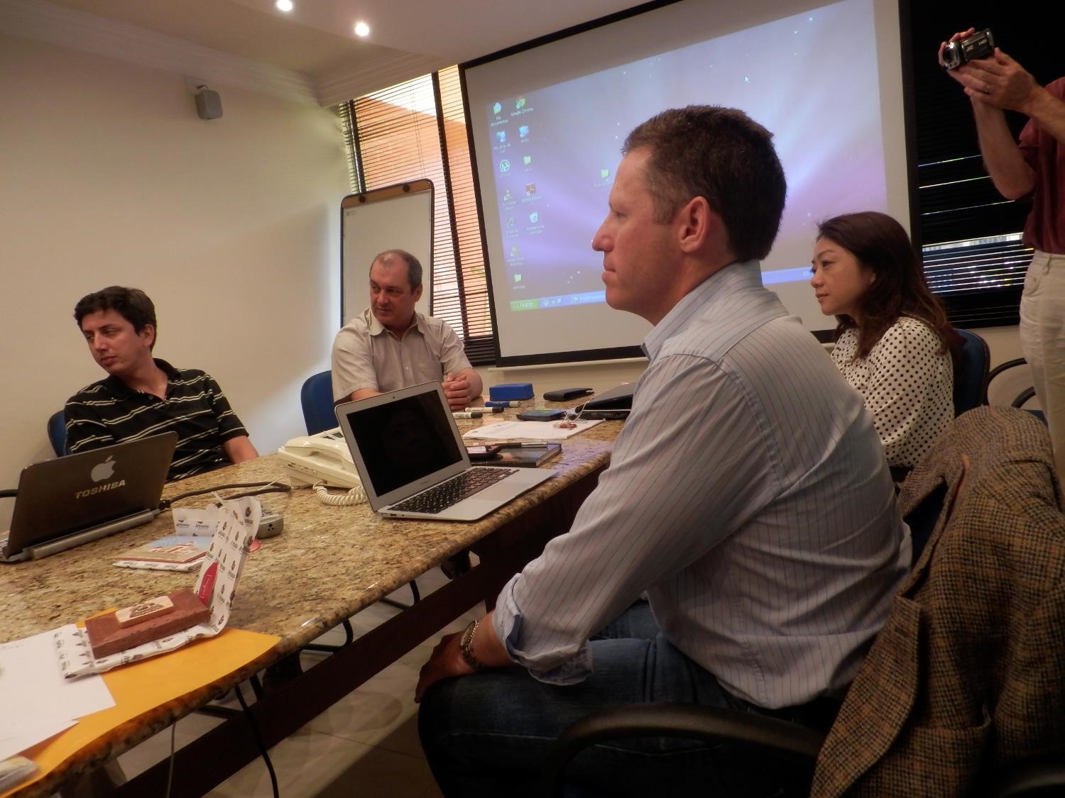
IRMCo presented the outcome of the ppgis events that were held in Ceará State to INPE, Brazil’s National Institute for Space Research, in São José dos Campos. The meeting elaborated on the satellite image requirements to develop the SIRIUS core products (maps of irrigated crops, crop water and irrigation water requirements) for the Forquilha, Morada Nova and Jaguaribe Apodi pilot areas which are representative of the semi-arid conditions in the north-eastern part of Brazil. For more information, visit the SIRIUS page in our project portfolio.

