The delineation of zones with common characteristics in terms of pollution levels within each of the lagoons, achieved in January 2004, was then evaluated in relation to the anthropogenic activities found within the catchment of the lagoons. To start with, hydrological flow modeling was used by IRMCo to establish the actual drainage network of Nador lagoon using the Integrated Land and Water Information System (ILWIS).

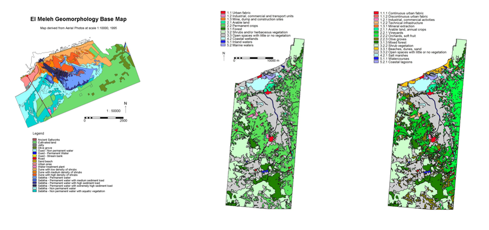
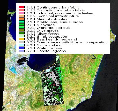
Landsat imagery, aerial photographs and topographic survey sheets were employed by IRMCo to derive the geomorphological units and the landuse of El Meleh lagoon ecosystem.

Use this link for more information on the EU funded project COLASU.

